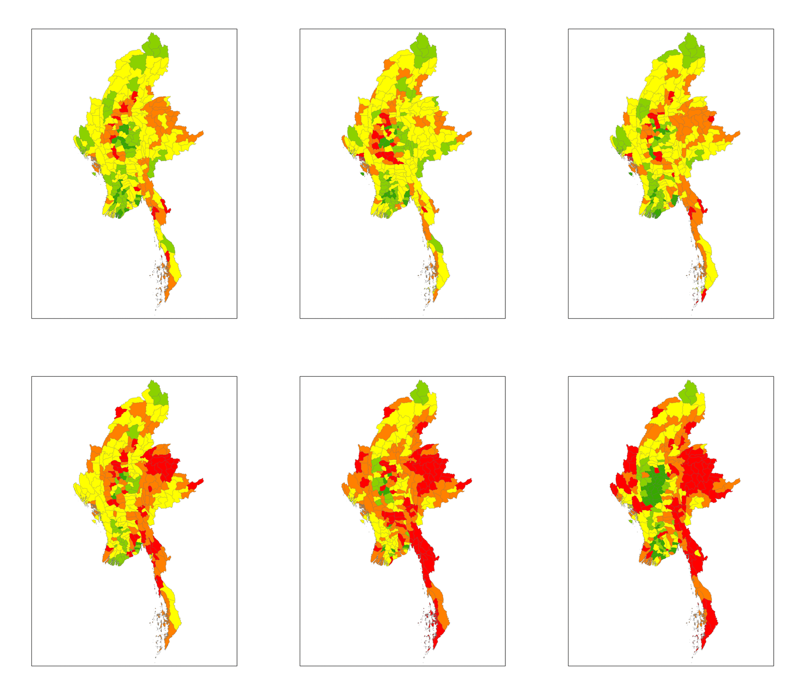
Land Use/Land Cover Change
this is meta description
Using High-Resolution Remote Sensing to track land cover change over time
Investigation of the spatial and temporal dynamics of a system is critical to understanding the impact of anthropogenic interference and resilience to global change.

During my tenure with the Smithsonian at the Conservation Biology Institute and the Environmental Research Center, I have performed geospatial analyses to determine how landscapes vary in space and time. Using a combination of imagery from satellites and UAVs (drones), we can capture . Read about my work at the Smithsonian and some thoughts on the role of drones in conservation work here.